


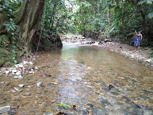
Property: Property of 9.493 m2 with stream, pasture, forest and beautiful view near San Miguel Valle de los Cedros Golfito - South Pacific, Costa Rica
Property
No.: 2383
 | |
| Property No.: | 2383 |
| Location: | Costa Rica, South Pacific, Puntarenas, San Miguel Valle de los Cedros Golfito |
| Price: | US $ 35000 |
| Size: | 9493 |
| Construction size: | |
| Shopping: | 17 |
| Street: | 0.1 |
| School: | 17 |
| Construction year: | 0 |
| Rooms: | 0 |
| Bedrooms: | 0 |
| Bathrooms: | 0 |
| Parking lots: | 0 |
| View: | beautiful mountain view |
| Extras: | |
Map:
Real Estate Costa Rica:
Central Valley | North Pacific | South Pacific | Central Pacific | Caribbean | Central North
 |
 |
 |
 |
 |
 |
 |
 |
 |
Description:
Profile: Rafita Lot
Location: San Miguel Valle de los Cedros Golfito
Area: 9493 square meters
Documents: Plan and deed by segregation
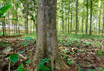
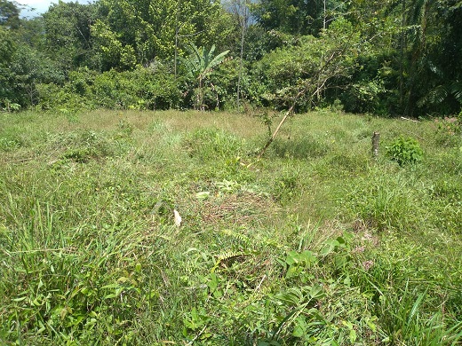
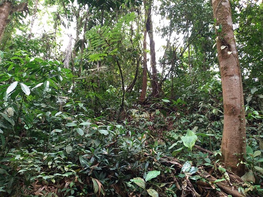
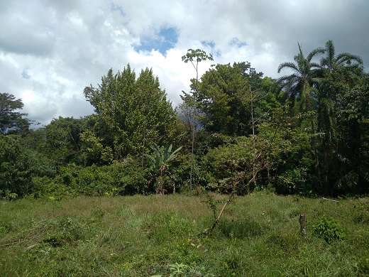
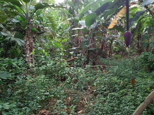
Topography: Semi flat
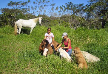
Dist. From Area: Mountain river protection and construction area.
Location: Google Maps 8 ° 45'00.5 "N 83 ° 09'06.6" W
8.750134, -83.151833
Altitude: 418 / Msnm
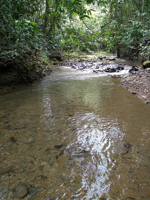
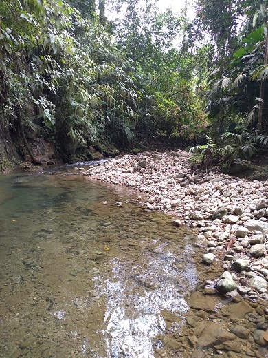
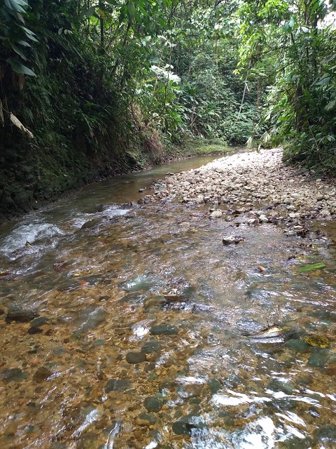
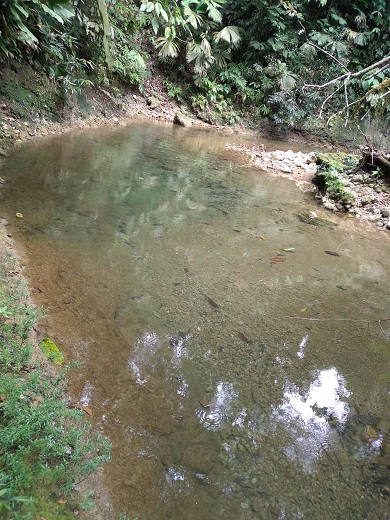
Waters: Excellent with ravines and the Camacho river on the border with a 300-meter route and Azada aqueduct.
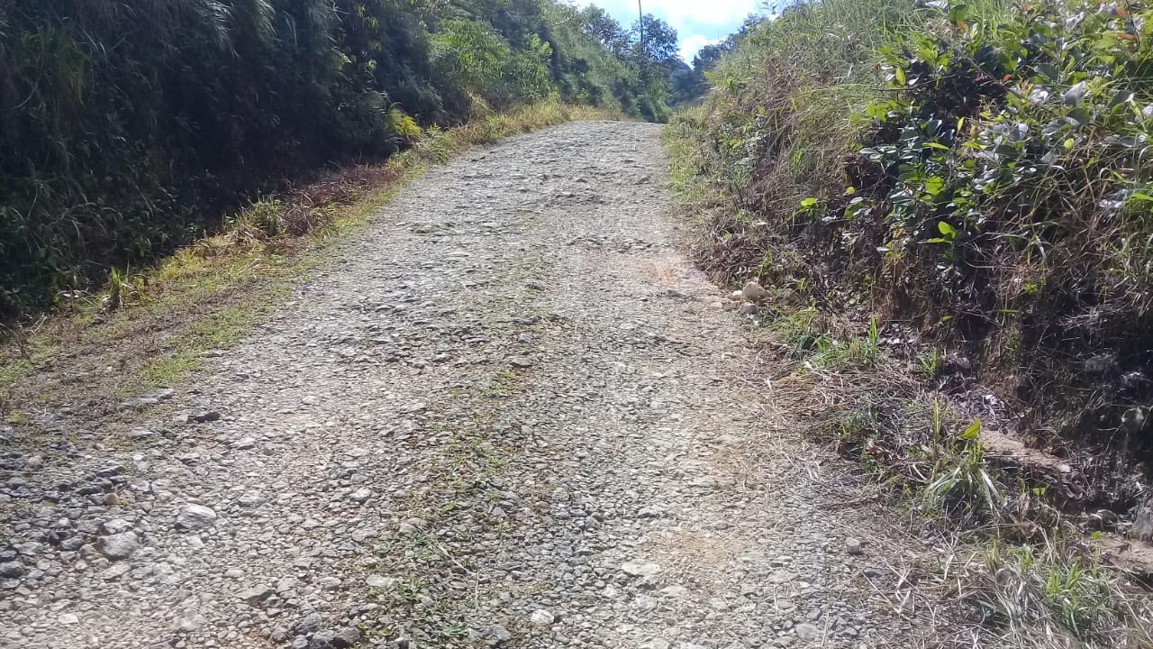
Access: Road with a public road front as a limit of 379.2 meters
Electricity: Yes
Constructions: No
Views: Mountains
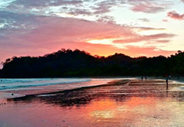
Closeness to Beaches: 17 km. From Golfito Center and Playa Cacao
Contact: